Mike Kieffer is an IT geek by hobby and trade, with a BS in Information Systems & Technology. He is a proud father of 10, a grandpa, an author, a journalist, and internet publisher. His motto is to “Elevate, Inspire and Inform”, and he is politically conservative and a Christian. Mike has a passion for technology, writing, and helping others. With a wealth of experience, he is committed to sharing his knowledge with others to help them reach their full potential. He is known for his jackassery or his form of self-expression that encourages boldness, creativity, and risk-taking. It can be a way to push the boundaries and challenge traditional norms, leading to creative solutions and positive change.
Topology of Eagle Mountain and Cedar Valley – 3D Print
I recently purchased a Creative Ender 3 3D printer. And as any new 3D printer owner would do, I went on the search for things to print. Besides the common ones like the ball in a cube, and Mandalorian figures, I wanted to find some productive educational things to print as well. So I started looking to see if I could easily print a topographical map of Eagle Mountain and the surrounding areas. I found what I was looking for, so I am going to share some of the resources I used in this post.
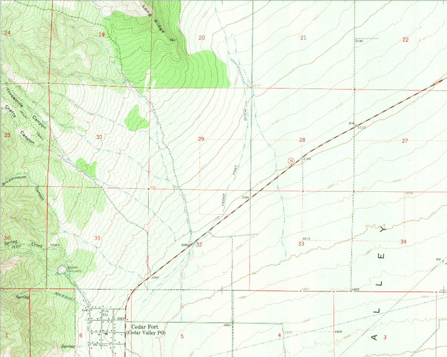
The United States Department of the Interior did a Geological Survey of the area. I found a topographical map for the area. It is included in three different surveys. There is one for Cedar Fort, Saratoga Springs, and the Tickville Spring. I have included the official PDF files of those surveys below for reference. I found links to these documents on the OpenTopography website as well as the USGS website.
Cedar Fort Topographical Map (2020)
Saratoga Springs Topographical Map (2020)
Tickville Spring Topographical Map (2020)
 Loading ...
The next step was to find a site that used this data or another data source that I could get a .stl file created from. I found the site http://jthatch.com/Terrain2STL/ Thatcher’s site is using google maps to get the topographical data. It is very easy to use and in a matter of minutes, I had a couple of .stl files ready to load on the 3d printer. All you have to do is select the area you want to create the .stl file for, modify a few of the settings to get the area you want, and then click on generate the model and then download the .stl file. The file is downloaded in a .zip file. I have included links to them here if you wish to print them and not create them yourselves.
Lake Mountain (Zipped .stl file)
Eagle Mountain (including Cedar Fort as well as some of Fairfield) (Zipped .stl file)
Note: If you find these files useful, consider donating to Thatcher’s site. Every little bit helps keep his costs down for running this free service.
Please share any 3D prints you have done related to Eagle Mountain and the area around. I would love to see them and collaborate on them.
